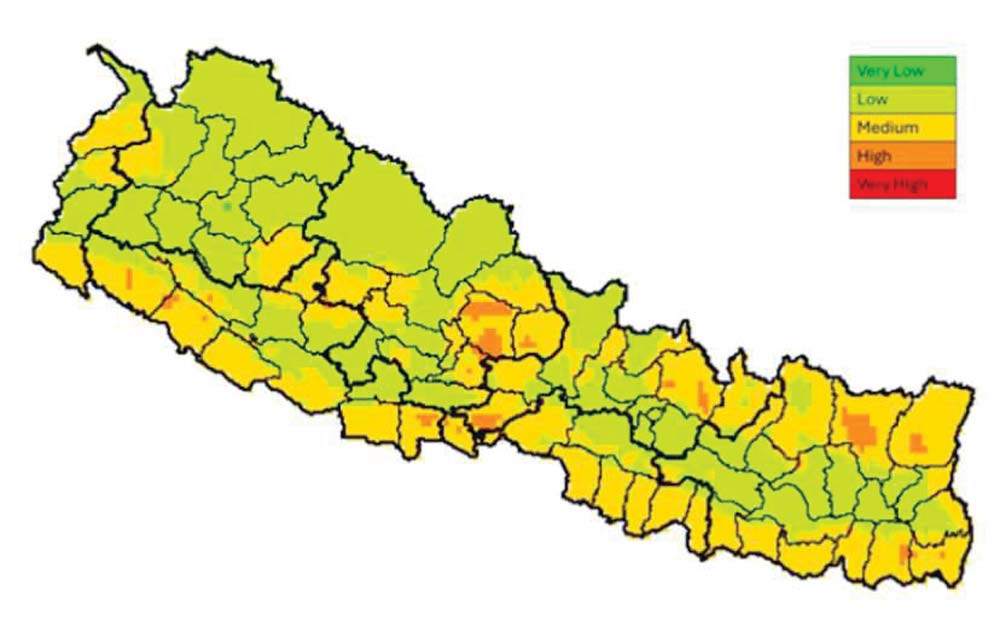
Nepal Agricultural Research Council (NARC)'s Advanced Climate Adaptation Digital Map
Introduction
The Nepal Agricultural Research Council (NARC) has introduced a revolutionary digital map designed to provide comprehensive climate information for South Asia. This innovative tool aims to assist farmers, researchers, and policymakers in making informed decisions to adapt to climate changes effectively.
Real-Time Climate Data
NARC's digital map offers real-time climate information and projections for up to 30 years. This state-of-the-art tool allows users to access detailed climate data for any location in South Asia with just a click. Roshan Babu Ojha, a scientist at the Nepal Agricultural Environment Research Center and the national coordinator of this project, highlights that this map will be instrumental in providing immediate and future climate data.
Empowering Farmers with Information
Once publicly available, farmers can use this digital map to obtain climate information specific to their wards. This accessibility will enable farmers to make informed decisions about their agricultural practices, helping them adapt to changing climate conditions. The map is expected to enhance crop yields and overall production by providing vital climate insights.
Features and Benefits
- Comprehensive Data Coverage: The map includes data from all wards in Nepal's 77 districts, offering current climate conditions and future projections for the next month, year, or up to 30 years.
- Risk Mitigation: The map features climate change risk mapping, providing solutions to mitigate risks at the click of a button.
- Crop Guidance: It offers information about potential risks to crops due to climate conditions, guiding farmers on the best crops to plant based on weather forecasts.
- Extended Reach: This tool is not limited to Nepal; it provides climate information for all South Asian countries.
Support and Development
The digital map was developed with support from international organizations such as Bioversity International and CIMMYT. National and international workshops have been conducted across South Asia, and plans are in place to develop separate administrators for each country in the future.
Previous Success and Future Plans
NARC has previously implemented a successful digital map for soil quality, launched by former Prime Minister KP Sharma Oli. This soil quality map allows farmers to assess the quality of their soil, including its components, with a single click. Building on this success, NARC is now set to launch the climate adaptation digital map.
Conclusion
NARC's advanced digital mapping initiative aims to empower farmers and researchers with precise and actionable climate and soil information. This tool will foster better agricultural practices and resilience against climate change across South Asia, benefiting not only farmers but also scientists, researchers, and students. The final public release of the climate adaptation digital map is expected soon, marking a significant step forward in agricultural innovation and climate adaptation.


